check the weather!
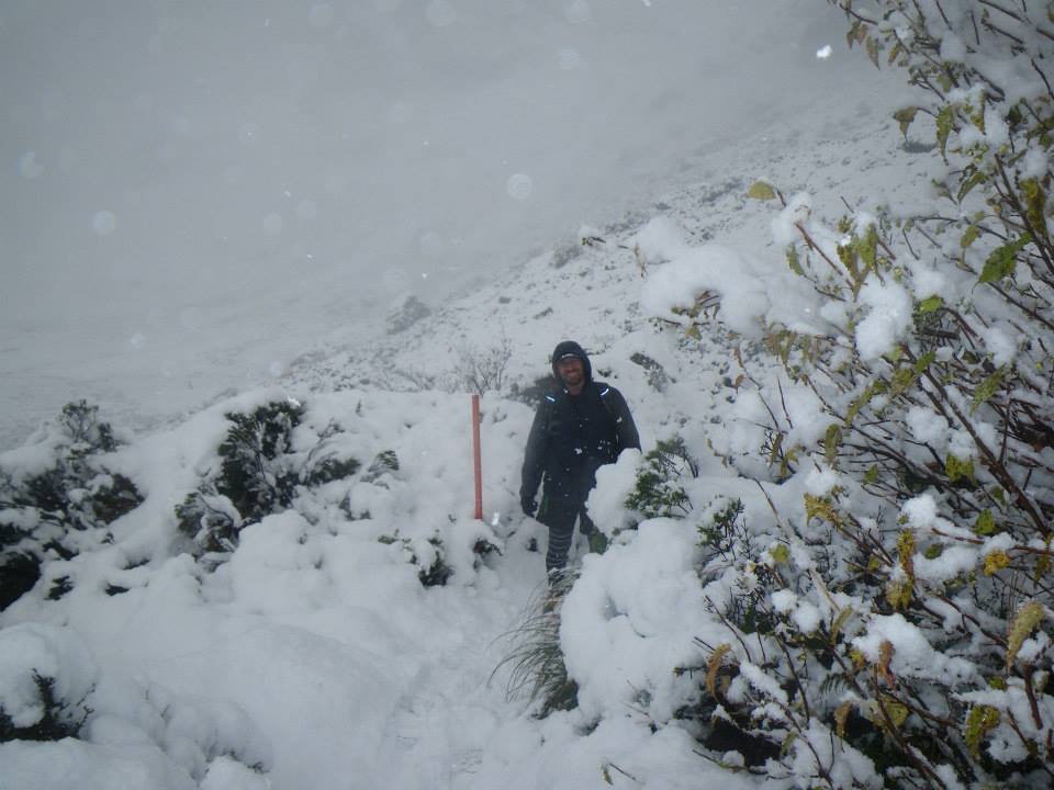
The NZ Metservice has the most accurate and up-to-date weather conditions for the tracks and trails around Fiordland National Park.
It is an alpine environment and conditions can change very very quickly. Don't be caught out - make a plan, prepare well, and check the weather.
TrackHopper Relocation Points
[google-map-v3 shortcodeid="2580c50009" width="100%" height="350" zoom="15" maptype="roadmap" mapalign="center" directionhint="false" language="default" poweredby="false" maptypecontrol="true" pancontrol="true" zoomcontrol="true" scalecontrol="true" streetviewcontrol="false" scrollwheelcontrol="false" draggable="true" tiltfourtyfive="false" enablegeolocationmarker="false" enablemarkerclustering="false" addmarkermashup="false" addmarkermashupbubble="false" addmarkerlist="314 Routeburn Rd, Kinloch 9372{}letter_a.png{}Start of the Routeburn Track|-44.707788, 168.353052{}letter_d.png{}Chinamans Bluff|-44.935429, 168.344893{}letter_b.png{}Start of the Caples Track|Muddy Creek Car Park, Rees Valley Rd, Mt Earnslaw 9372{}letter_c.png{}Rees - Muddy Creek|The Divide Te Anau-Milford Hwy Fiordland National Park 9679{}letter_e.png{}The Divide|1 Shiel Street, Glenorchy 9372{}hiking.png{}Trackhopper HQ" bubbleautopan="true" distanceunits="km" showbike="false" showtraffic="false" showpanoramio="false"]


